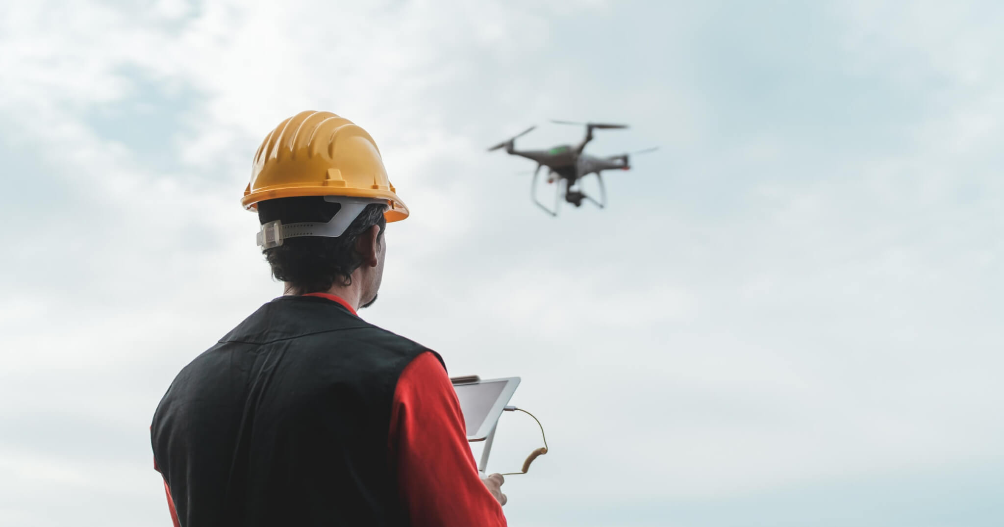
Drones make it faster and easier to capture accurate data from above, whether you’re surveying a construction site, monitoring progress in a quarry, or mapping a remote landscape. The right drone can reduce field time, improve site safety, and provide the insights you need for urban planning, all without the hassle. Models like the DJI Phantom 4 RTK and WingtraOne Gen II made our list of the best drones for photogrammetry as they are specifically built for land surveying, delivering detailed 3D maps with impressive camera quality and image capture.
Quick look:
- Photogrammetry drones like the DJI Phantom 4 RTK and WingtraOne Gen II capture high-res aerial images to create precise 2D and 3D models, reducing time and risk on job sites.
- Top drone picks, including the DJI Mavic 3 Enterprise, Parrot Anafi Ai, and AgEagle eBee X, are analyzed by their specifications, flight time, and camera capabilities.
- From construction and mining to disaster response, photogrammetry drones improve safety, accelerate data collection, and improve project planning.
- Investing in a drone versus hiring a service provider depends on project scope and frequency.
What is drone photogrammetry?
Drone photogrammetry is a high-tech method for creating detailed topographic maps, 3D models, and getting precise measurements from aerial photos. At its core, photogrammetry uses overlapping images to calculate distances and dimensions. Drones make this process more efficient by flying over a site and capturing a series of images from different angles above. Specialized software then stitches those images together to create accurate 2D maps or 3D models, eliminating the need for boots on the ground.
Types of drone photogrammetry
Aerial photogrammetry
Aerial photogrammetry is the most common type of photogrammetry. It uses drones to capture images from above making it ideal for surveying large areas, such as farmland, construction zones, or real estate. With a drone, you get a bird’s-eye view with detailed spatial data of the entire area that’s hard to match with traditional methods.
Terrestrial photogrammetry
Instead of flying, this method involves capturing images from the ground using handheld or mounted cameras. It’s useful for capturing detailed shots of buildings, monuments, or smaller spaces where drone access is limited, such as tight interiors or architectural restoration work.
The best photogrammetry drones on the market
DJI Phantom 4 RTK

The DJI Phantom 4 RTK is a great choice for professionals looking to get drone imagery to centimeter-level accuracy. It integrates a real-time kinematic (RTK) positioning module directly into the drone, reducing the need for ground control points. Its 20mp 1-inch CMOS sensor with a mechanical shutter ensures crisp, distortion-free images, even during motion, making it ideal for precise 2D and 3D mapping. Whether you’re mapping construction sites, agricultural fields, or infrastructure projects, the Phantom 4 RTK delivers consistent, high-quality results.
Features:
- Flight time: Approximately 30 minutes
- Weight: 1.39 kg (takeoff weight)
- Flight range: Up to 7 km (FCC compliant)
- Max speed: 58 km/h (A-mode)
- Camera: 20mp 1″ CMOS sensor, mechanical shutter, capable of achieving a ground sample distance (GSD) of 2.74 cm at 100 meters flight altitude
DJI Mavic 3 Enterprise

The DJI Mavic 3 Enterprise (M3E) is a compact yet powerful professional drone designed for high-precision mapping and drone surveying. Equipped with a 20mp 4/3 CMOS wide-angle camera featuring a mechanical shutter, it can maintain a higher resolution in its images than most drones even during rapid flights. The optional RTK module enables centimeter-level positioning accuracy, making it ideal for high accuracy inspections and urban mapping tasks. Its lightweight design and extended flight time allow for efficient data collection over large areas.
Features:
- Flight time: Up to 45 minutes of battery life
- Weight: Approximately 915 g
- Flight range: Up to 15 km (FCC compliant)
- Max speed: 75.6 km/h (Sport mode)
- Camera: 20mp 4/3 CMOS wide-angle camera with mechanical shutter; supports 56× hybrid zoom
Parrot Anafi Ai

The Parrot Anafi Ai is a professional drone that features 4G LTE connectivity for reliable data transmission, open-source software compatibility for customization, and autonomous obstacle avoidance for safe navigation. Its 48mp camera with 4K HDR video capabilities captures detailed and accurate imagery in a dynamic range, making it ideal for mapping applications that require a high level of detail.
Features:
- Flight time: Up to 32 minutes of battery life
- Weight: Approximately 898 g
- Flight range: Up to 22.5 km (14 m/s without wind)
- Max speed: 16 m/s (34 mph)
- Camera: 48MP 1/2″ CMOS sensor, 4K HDR video, 6x digital zoom
AgEagle eBee X

The AgEagle eBee X is a fixed-wing mapping drone engineered for large-scale drone surveys and extended flight durations. With its modular design and a suite of interchangeable cameras, including RGB, multispectral, and thermal options, it can be used in various applications fo drone mapping. Its lightweight build and advanced GNSS capabilities enable high-precision data collection without the necessity for ground control points. Whether you’re surveying expansive agricultural fields or conducting detailed topographic mapping, the eBee X is one of the best options on this list.
Features:
- Flight time: Up to 90 minutes of battery life with endurance battery
- Weight: 1.3–1.6 kg, depending on payload
- Flight range: With endurance extension: up to 55 km
- Cruise speed: 40–110 km/h
- Camera options: Compatible with multiple sensors, including S.O.D.A. 3D, Aeria X, Duet T, and more, supporting RGB, multispectral, and thermal imaging
WingtraOne Gen II

The WingtraOne Gen II is a professional-grade vertical take-off and landing (VTOL) drone engineered for large-scale, high-precision mapping missions. Its unique fixed-wing design allows for efficient flight over expansive areas even against strong winds, while the VTOL capability enables takeoffs and landings in confined spaces. Equipped with advanced payload options, including the 42mp full-frame Sony RX1R II camera, it delivers exceptional image quality and accuracy, making it a preferred choice for industries such as mining, construction, and agriculture.
Features:
- Flight time: Up to 59 minutes of battery life
- Weight: 3.7 kg (8.1 lbs)
- Flight range: Up to 50 km (31 miles)
- Cruise speed: 16 m/s (57.6 km/h or 35.8 mph)
- Camera options: Sony RX1R II (42MP full-frame), Sony a6100, MicaSense RedEdge-MX, and MicaSense Altum
- Accuracy: Down to 1 cm (0.4 in) absolute horizontal accuracy with PPK
- Takeoff and landing: Vertical take-off and landing (VTOL) capability
- Software: WingtraPilot for mission planning and flight control
Industry use cases for drone photogrammetry
Drone photogrammetry is generally used to capture high-resolution images and convert them into orthomosaic maps. However, they can be used recreationally for drone photography as well. Here’s a look at how different sectors are putting this technology to use:
- Site surveying and planning: Drones can map large areas in a fraction of the time it takes with traditional ground-based methods where you need to use a ground station. With drones, engineers and land developers can decide on a flight plan to understand site topography, plan layouts, and identify potential obstacles early in the process.
- Site safety and inspections: Instead of sending workers into hazardous areas, drones can safely scout elevated structures like power lines. This improves safety and speeds up the inspection process.
- Asset and project monitoring: With recurring drone flights, teams can monitor site progress in near real-time. Captured images from different periods allows project managers to identify delays, make necessary adjustments, and document progress for stakeholders.
- Data acquisition and 3D modeling: Drones equipped with high-resolution cameras capture overlapping images that can be used to generate detailed 3D models or digital twins of job sites, infrastructure, or vast areas.
- Mining and quarrying: Photogrammetry drones are commonly used to measure stockpile volumes, track excavation progress, and monitor environmental conditions, all without disrupting daily operations.
- Disaster response: After floods, earthquakes, or storms, drones can quickly map the affected areas to assess structural damage, guide rescue efforts, and prioritize infrastructure repairs, all while keeping first responders out of harm’s way.
When you should invest in a drone
Buying a photogrammetry drone is a smart move if you regularly manage large-scale projects that rely on accurate measurements and rapid data collection. Surveying firms, construction crews, and mining operators often see significant gains in productivity and precision when they bring drone work in-house. If you’re consistently sending teams out for site surveys or inspections, the time savings alone can justify the investment.
That said, if you only need aerial mapping occasionally, or just for a single project, it might be more practical to hire a drone service provider. Outsourcing can provide you with access to high-end equipment and expert operators without the upfront costs.
Benefits of owning a drone
- Reduced labor and survey time: Cover more ground in less time and free up staff for other tasks.
- Safer inspections: Keep your team out of hazardous areas by using drones to access risky or hard-to-reach spots.
- Repeatable, high-resolution data: Fly the same route as often as needed to track changes and updates over time.
- Integration with GIS and CAD software: Easily feed drone data into existing platforms for data processing, modeling, and reporting.
- Long-term ROI for frequent users: The more you use your drone, the faster it pays for itself through time and cost savings.
Bottom line
Drone photogrammetry has become an essential tool for AEC and industries that rely on speed, accuracy, and smart data. Whether you’re surveying job sites, tracking project progress, or modeling complex terrain, investing in the right drone can save time, reduce risk, and deliver results that traditional methods can’t match.
Want more tech tips, gear reviews, and field-tested insights? Subscribe to our newsletter and stay ahead of the curve—delivered straight to your inbox.