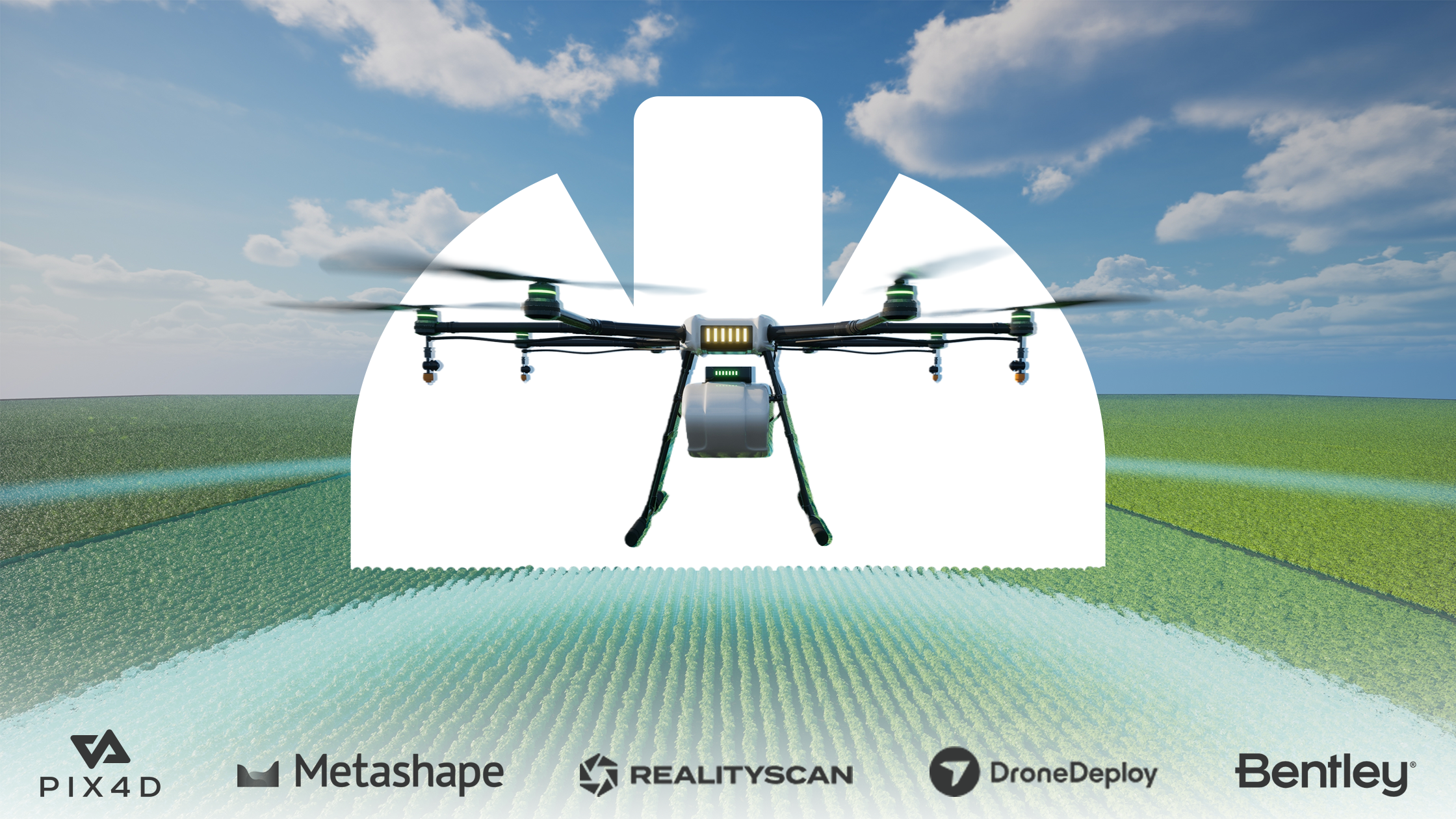
Every industry that utilizes tech is well saturated with software products, and drone photogrammetry software is no exception. Here, we’ll dive into what to look for in a photogrammetry tool so you can streamline your search and get back to the big picture. Our top picks include Pix4D, RealityCapture, and WebODM.
What is drone photogrammetry software?
Before diving into what the software does, let’s break down photogrammetry. Photogrammetry is the process of extracting 3D information from photographs. It’s the art and science of converting aerial images, usually, into measurable 2D and 2D data. It does this by taking many overlapping images of a space or structure, and creating an accurate model based on the assumed dimensions from the images.
Drone photogrammetry software facilitates the conversion from a flat image to a 3D rendering via drone image capture. It’s used by contractors, engineers, and architects who create meshes, point clouds, topographical maps, and drawings.
What to look for in drone photogrammetry software

When shopping around for the right photogrammetry software, first consider what type of imagery you’re looking to process, as aerial and close-range images may require different types of software. Make sure your software also includes support for point cloud production, 3D model rendering, and detailed measurements. A few other items on your software checklist might include:
- Accuracy
- Processing speed
- Ease of use
- Automation and integration support
- Output
- Cloud vs desktop applications
Some software options might not support everything on your must-have list, so it’s important to weed those options out and find something that covers all of your team’s needs.
Top drone photogrammetry software options
Pix4Dmapper
Best for: Aerial photogrammetry
Pricing: Starts at $291.67 USD/month when you subscribe for a year
Pix4Dmapper software is a popular option specifically dedicated to drone-based mapping use cases. It turns regular flat images into precise, georeferenced 3D models or 2D maps with an innovative digital reconstruction technology. It’s useful for those who need to visualize a large space or structure, and may need to render the project into alternative textures. It works for aerial images and close-range images.
- Pros: Data export is simple, and the software is easy to navigate. Users also cite that it doesn’t require many machine resources compared to other tooling.
- Cons: There can be a learning curve if you have no photogrammetry experience. This software also requires a top-quality computer with sufficient speed, storage, and memory to support its size.
DroneDeploy
Best for: Aerial photogrammetry
Pricing: Starts at $349 USD/month when you subscribe for a year
DroneDeploy aids businesses in creating highly accurate 2D and 3D maps from images thanks to its cloud-based drone technology and AI advancements. This software is particularly suited for aerial photography and is used in two different apps. The main app operates the drones, and the other creates the 3D renderings and models from the images captured in the first app.
- Pros: Users cite that DroneDeploy is easy to use, has comprehensive features, and has a great customer support team.
- Cons: It’s expensive for only supporting aerial imaging, and users cite that it’s sometimes slow to process and render images.
Agisoft Metashape
Best for: Close-range and aerial photogrammetry
Pricing: $163 USD for a standard perpetual license
Agisoft Metashape is a stand-alone photogrammetry software with supporting features like point cloud data, distance measurements, 3D model generation, triangulation, and more. They advertise themselves as a complete software, covering applications like visual effects and even cultural heritage documentation. It’s one of the most used photogrammetry software options on the market to date.
- Pros: This software is easy to use, offers many customer support resources, and has a larger community that users can turn to if they have questions or are looking for tips.
- Cons: Users often cite bugs in the program that take a long time to address. Because it’s a perpetual license, new editions and evolutions of the product are few and far between.
RealityCapture
Best for: Close-range and aerial photogrammetry
Pricing: Free version available, then $1250 USD per seat per year
Another complete photogrammetry app on our list is RealityCapture. This app is easy to learn, has a clean, straightforward interface, and offers the user anything they’d require for photogrammetry. Users love the quality and faster output compared to other software options, and can calculate textures and meshes quickly. It also allows users to georeference, produce reality scenes, and make orthographic projections from laser scanning and images. RealityCapture is one of the few software tools that supports rendering on smaller-sized objects.
- Pros: It’s a highly detailed tool, accounting for every minutia of each project. It also has a stunning interface and quick load times.
- Cons: This tool has more stringent hardware requirements than competitors, and some users cite that progressing through the milestones is cumbersome.
iTwin Capture Modeler
Best for: Close-range and aerial photogrammetry
Pricing: $4,407.71 USD per year with credits to unlock training and resources
iTwin Capture Modeler supports reality meshes of essentially any scale of space or structure by leveraging images or LiDAR point clouds. This software comes in the Modeler version as well as the Modeler Center. So while it isn’t a complete software on its own, it does support expansion.
The Modeler version supports storing large amounts of planar images, spherical images, oblique images, point clouds, and meshes, which can be combined with vector data, raster images, and orthophotos.
- Pros: This software seamlessly supports collaboration and is versatile across many projects and scales.
- Cons: This is another costly option, with users citing that their pricing quickly jumps as seemingly small features are required.
WebODM
Best for: Aerial photogrammetry
Pricing: Starts at $24 USD per month when you subscribe for a year
WebODM is unique in that it’s available on desktop, and users can also work offline. This is another option that leverages drone technology to create georeferenced maps, 3D-rendered models, and point clouds. It supports various formats and creates GCPs for reaffirmed accuracy.
- Pros: There’s a free version, a pay-as-you-go version, and a money-back guarantee with Web ODM.
- Cons: This software requires some technical expertise to install, and there is a bit of a learning curve to navigating it.
Comparing performance and pricing of photogrammetry software
Some of the tools we’ve mentioned are excellent, well-rounded software solutions, whereas some are highly effective for more niche industries and use cases. Here’s an easy breakdown of industry, type, and price.
| Name | Type | Industry best for | Price |
| Pix4Dmapper | Aerial | Agriculture, architecture, surveying, forensics, and energy. | $291.67 USD/month for a year |
| DroneDeploy | Aerial | Roofing, agriculture, construction, mining, oil & gas, property management, and utilities. | Starts at $349 USD/month when you subscribe for a year |
| Agisoft Metashape | Aerial and close-range | Forestry, oil & gas, agriculture, construction, mining, 3D model rendering, and surveying. | $163 USD for a standard perpetual license |
| RealityCapture | Aerial and close-range | Architecture, 3D printing, gaming, surveying, cultural heritage, and virtual reality. | Free version available, then $1250 USD per seat per year |
| iTwin Capture Modeler | Aerial and close-range | Water & utilities, transport & bridges, mining, surveying, and construction. | $4,407.71 USD per year with credits to unlock training and resources |
| WebODM | Aerial | Agriculture, surveying, mining, utilities, and property management | Starts at $24 USD per month when you subscribe for a year |
Which drone photogrammetry software is right for you?
When it comes down to it, the right photogrammetry software for you depends on your needs, industry, and use case. If you’re looking for something:
- All-encompassing and easy to learn: Go with RealityCapture.
- That lets you work offline: WebODM is ideal.
- That supports large areas and various textures: Try Pix4Dmapper.
- To keep capture and design separate: DroneDeploy is for you.
- More granular, with all the bells and whistles: You’re looking for iTwin Capture Modeler.
- An all-in-one with a large community: Agisoft Metashape is perfect.
Whether you’re using DroneDeploy, Agisoft, or WebODM, we’re confident that you’ll get a valuable drone photogrammetry software tool that can bring your images and design ideas to life from our curated list.
Don’t forget to follow us on LinkedIn and subscribe to the newsletter to stay up to date on the latest and greatest in the AEC space.


1 comment